|
Best time of the year to go? |
Catalina has mild temperatures all year. |
|
Distance of hike? |
2.58 statute miles |
|
Drinking water on the trail? |
No but it's available at the airport. |
|
Rate difficulty of hike. 1 being easy, 5 being hard. |
2 - Rated by a 280lb 55 year old man. |
|
Rate this hike with 10 being best, 5 average. |
7.0 - I enjoyed this hike so much I did
the loop twice. |
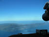 |
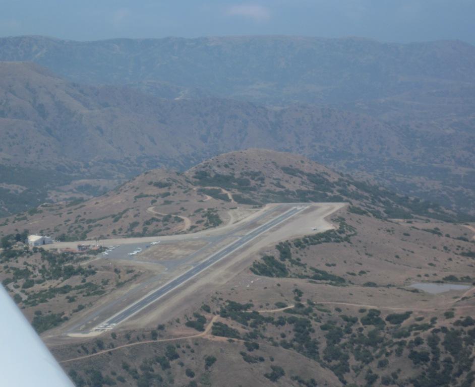
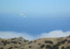
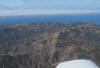
Crossing the channel one can clearly see the airport on
the hilltop. I was about 10 miles out when I took this. |
 |
Airport in the sky. |
 |
Hiking the airport trail. |
 |
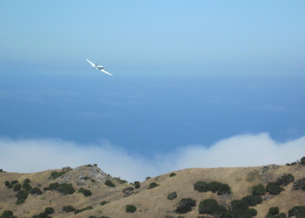
I think we've all felt like that at one time or another. |
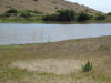 |
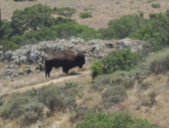
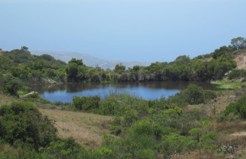
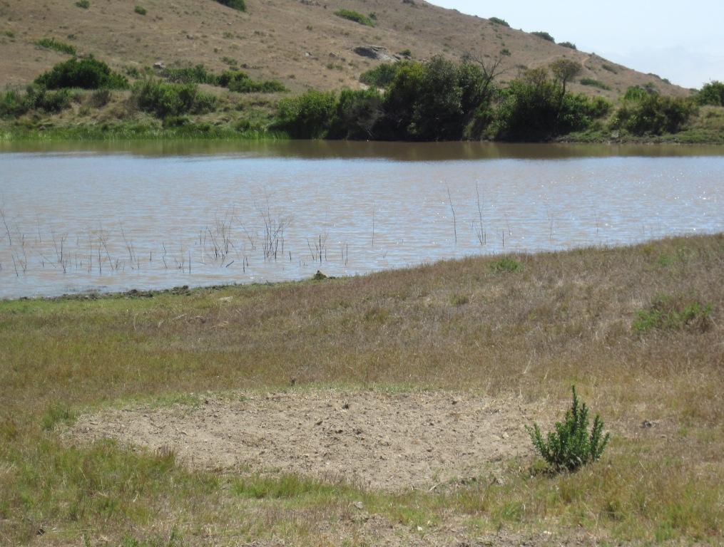
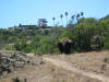
A second pond on the hike. The dirt area
in the foreground is from buffalo bedding down |
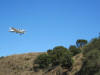 |
The trail goes under both ends of the runway.
Take a break at the approach end for some pictures. |
 |
Catalina Flying Boat's on the go! |
 |
Catalina Flying Boat's on the go! |
 |
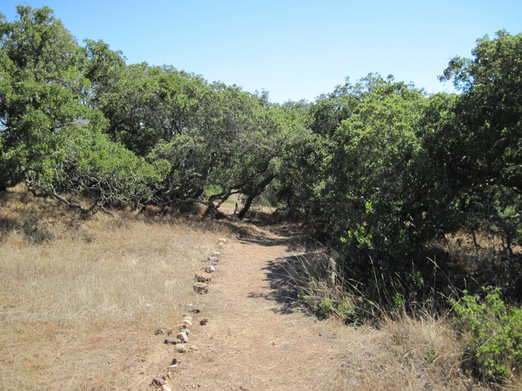
The trail is clearly marked. |
 |
Sometimes one is forced off the trail and must seek
another route. |
 |
This was a surprise. |
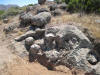 |
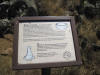
Quarry that goes with sign above |
 |
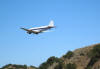
Departing Avalon's airport. The Avalon VOR in the
foreground, Airport in the Sky beyond. |